


I built Wimemo, an app that turns your geotagged photos into a personal travel map


👉 Recommend this AppRecommend this?
★
★
★
★
★
1 Review
5/5
Reactions


I built Wimemo, an app that turns your geotagged photos into a personal travel map
I built Wimemo, an app that turns your geotagged photos into a personal travel map
was posted by Jerry Li
in
App
,
Map
,
Startup
,
Itinerary
,
Blogging
.
Featured on Jul 29, 2026 (1 month ago).
Rated
5/5
★
by 1 member.
Sharing is caring
QR Code


Welcome to Travel Massive!
Discover new ideas in travel and join our global community of innovators and thought leaders. Learn more.


 + 412 others joined this month
Comments
After every trip, I had the same problem: the photos were safe in my phone, but the memory of the trip was scattered across a camera roll, chat threads, and half-finished albums.
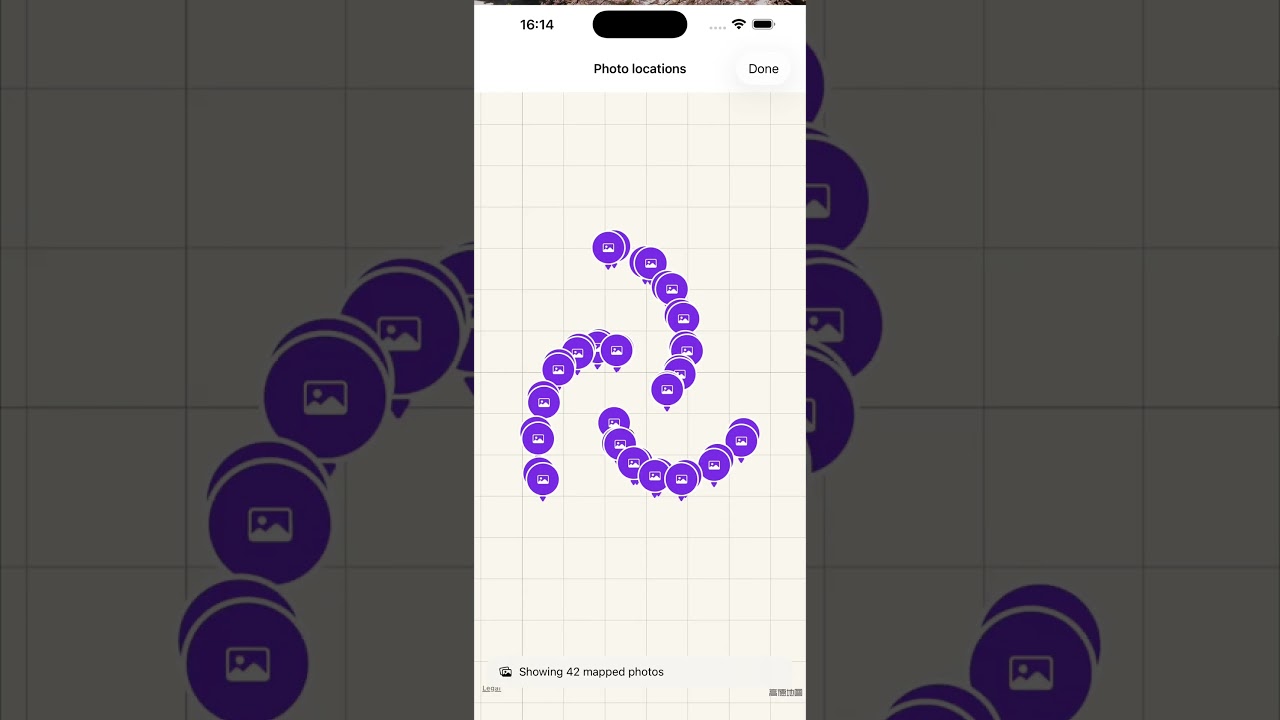
So I built Wimemo, a small travel app that turns geotagged photos into a personal travel map. It groups nearby photos into trips, shows the places you have actually visited, and keeps the original media on the device by default. The map gives a photo library a shape that matches how we remember travel: by place, route, and the people who were there.
The interesting part has been the edge cases. A long Europe trip can cross several countries without a clean boundary in the photo timeline. A city label can be wrong even when the coordinates are right. A photo taken at an airport should not quietly become a country you visited. These details matter because a travel map is a memory system, not just a visualization.
I am still improving the product and learning from people who take photos with phones, cameras, drones, and shared albums. I would love feedback from travel creators and travel-tech builders:
Do you remember trips more by place or by date? What is the first thing you want to see when you open an old travel album? How should a travel app combine personal photos with memories from travel companions?
Try it out at wimemo.com and please share your feedback and comments, thanks!
I remember trips by place and what I was doing and who was there with me. I'll give it a try.
That makes sense—place, what happened, and who was there are exactly the context a travel memory should preserve. Thanks for giving Wimemo a try. I’d especially love to hear whether the map or the trip timeline feels more natural when you revisit a journey.
For me it's usually the food memories : ) -- but congrats to building this app.
Thanks, I like food memories as well, maybe this will be my next step.
Sounds cool, downloading now. One of my favorite things to do is open the map view on Google Photos to see where the cluster of photos are located. Do you have Google Photos integration?
Not yet, will start on it once iOS is in a good state.
Woah, going to try this for my trip tomorrow!
Thanks very much, it is still the early stage, so just feel free to send me any suggestions.
This is awsome!! Do you need a UGC creator to promote this? I can help :D
Yes, that would be awesome.